A mainly dry weekend, with slim rain chances ahead

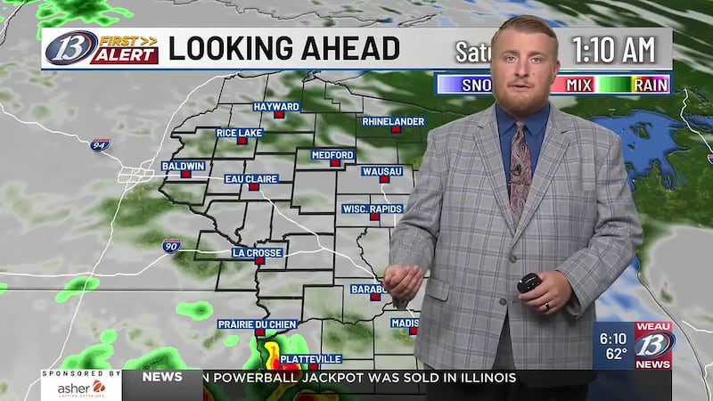
EAU CLAIRE, Wis. (WEAU) - Despite cloud cover over the area, we remained dry and unscathed in the Chippewa Valley. There are a few ongoing showers towards I-90 that have been crawling north over the past several hours. While we’ll be dry this evening, isolated showers will be possible later tonight, though most places should stay dry. Temperatures tonight will drop into the mid-60s.
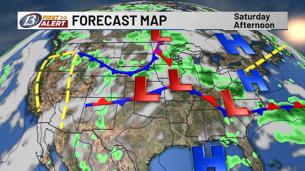
Rainfall will remain scattered and sporadic throughout the day on Saturday as a wave migrates over the Midwest. With the activity, it won’t be anything to cancel any outdoors plans over. Saturday will be humid and more tropical like as dewpoints rise into the 70s due to a warm front approaching. Daytime highs will reach into the 80s.
A slightly better chance for rain will arrive with the passage of a cold front Saturday night and into Sunday morning. Rainfall totals are going to be unimpressive, as we could see maybe a tenth of an inch. An isolated higher amount can’t be ruled out with any thunderstorms that do occur.
Sunday & Next Week
Behind the front, humidity will drop ever so slightly with temperatures in the low 80s continuing. We’ll slowly begin to see the clouds move out as surface high pressure begins to take hold. This feature will remain in place entering into Monday, along with upper-level ridging. Monday will likely be the warmest day of the week, as a few spots could reach into the mid 80s. While a few showers can’t be ruled out Monday night and into Tuesday, the better chance will be with a front from the northwest later Tuesday and into Wednesday. In the upper-levels, flow will turn more zonal, or east to west orientated. Behind that front, temperatures will drop a degree or two. Drier conditions are expected for the rest of the workweek as another high-pressure system moves over the Midwest.
Copyright 2026 WEAU. All rights reserved.