Our mild September-like weather to expire Sunday

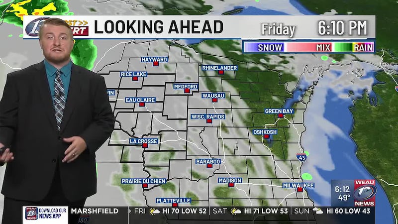
EAU CLAIRE, Wis. (WEAU) - Warm weather remained top of mind today, with highs feeling more like September in the mid 70s. Cloud cover has returned tonight ahead of a warm front over the Dakotas. Rain is showing up on radar over Minnesota, but it is struggling to reach the ground due to low-level dry air. Aside from a stray shower in our western counties, clouds will stick around tonight. This will keep us mild as temperatures drop into the upper 50s to low 60s.
Saturday
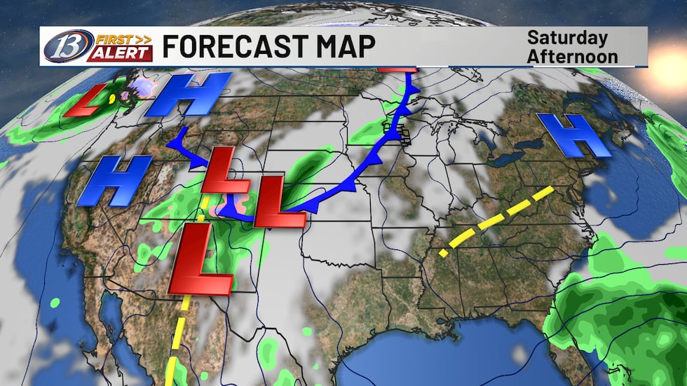
Clouds will let up somewhat for tomorrow, allowing for peeks of sunshine throughout the day. Breezy winds out of the south and the sun should help to warm temperatures into the mid 70s. Cloud coverage may overall impact how warm we do get, however. Winds tomorrow could gust upwards of 25 mph at times, with sustained winds anywhere between 5-15 mph. A cold front will arrive Saturday night, bringing a few spotty showers to the area. Coverage will not be widespread, and temperatures should drop near 50 degrees.
The Next Few Days
The combination of the cold front and our upper-level air pattern breaking down will give us cooler weather for the second half of the weekend. Temperatures will be in the upper 50s to low 60s on Sunday, with a few rain showers at times. Due to the scattered activity of the rain, it won’t be anything to cancel any plans over. More rain chances will arrive this week on Monday and Tuesday. An area of low pressure will make its way into the upper Midwest, but there is some disagreement on where exactly it’ll track and where the heaviest amounts will be. Nevertheless, no washout is expected both days. More rain chances arrive on Wednesday with another area of low pressure and a few fronts nearby. It’ll be back to fall reality in terms of temperatures, however. Expect 50s and 60s throughout the week. At this time, Thursday and Friday are trending dry into the Halloween weekend.
Copyright 2026 WEAU. All rights reserved.