A seasonably warm but humid mid-August weekend
EAU CLAIRE, Wis. (WEAU) - We’re hitting the middle of August this weekend with pretty typical summer weather on tap. Here’s what you need to know for your plans.
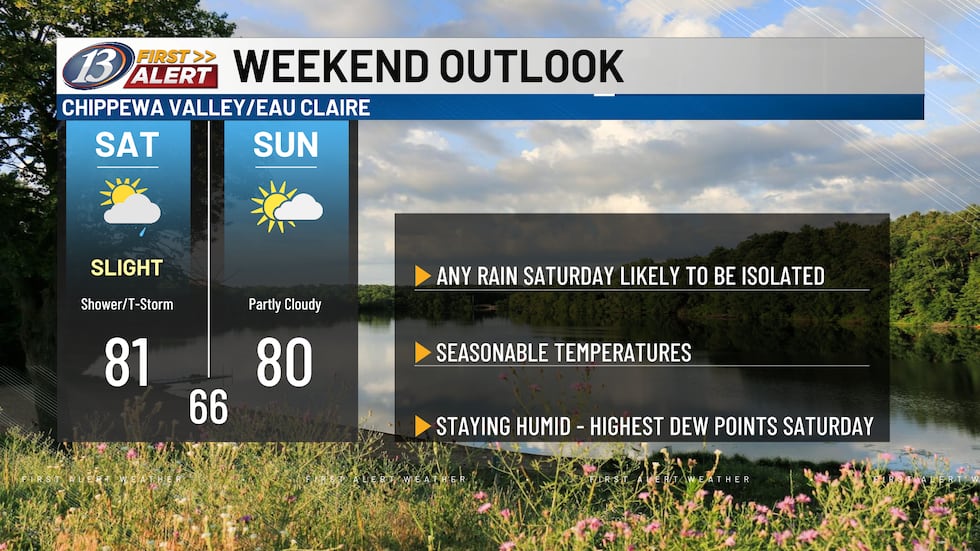
Saturday will stay mostly dry with your outdoor activities safe. We can’t completely rule out a few stray showers, but anything that develops will be isolated — nothing that’ll derail your plans. Temperatures will top out around 80 degrees, with some spots possibly a couple degrees warmer if we get extra sunshine.
A weak cold front will move in from the northwest Saturday night, bringing a better chance for a few showers and thunderstorms to pass through the area. This is when we could see the most active weather of the weekend.
Humidity will be in the moderate range both days, with dew points staying in the 60s. They’ll spike to the low 70s Saturday afternoon and night before dropping off Sunday. That could feel a bit sticky through Saturday evening, but relief is on the way.
Sunday flips to the drier side of the front. You’re looking at a dry day with a mix of sun and clouds. Winds will also shift to the north and northwest, making it a bit breezy. Afternoon temperatures again reach near 80, but with slowly dropping humidity levels, it should start to feel more comfortable.
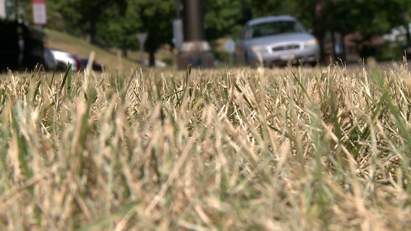
While this weekend won’t bring the much-needed rain we’re hoping for, Mother Nature has something else coming. A cold front is forecast to arrive by next Tuesday, giving us the next real chance for showers and thunderstorms.
Copyright 2026 WEAU. All rights reserved.