Closer to average Sunday with a few chances of rain ahead
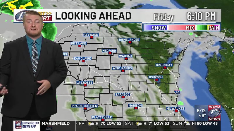
EAU CLAIRE, Wis. (WEAU) - Mostly sunny skies and breezy winds have allowed for another warm 70 degree day over the area. To our west, a cold front resides over eastern Minnesota, dragging a few showers along with it. Activity over our area later tonight will be very scattered in nature. Behind the front, temperatures have quickly dropped into the 50s and 40s. For tonight, expect more cloud cover and the chance of a few showers. Temperatures should drop into the 50s.
Sunday
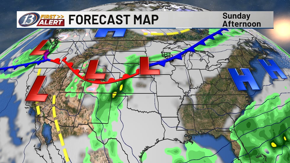
With the cold front in the vicinity a cloudier end to the weekend is expected. A few showers in the morning and again in the evening will be possible, but we aren’t expecting anything in terms of a washout. Rainfall totals will be under a tenth of an inch. Temperatures will be stunted in the 50s throughout the day. Zonal (more west to east) flow will dominate our upper-level air pattern heading into next week, keeping temperatures cool to start off.
Next Week
A small chance of rain remains in the forecast on Monday out ahead of an upper-level trough over the Plains. The best chances of rain will be to our west and northwest. Temperatures will be in the lower 50s. Another wave will pass through on Tuesday, bringing more rain chances to the area, before activity comes to an end on Wednesday morning. We’ll slowly begin to warm into the 60s for daytime highs, about 10 degrees above average. This is due to upper-level ridging and southwesterly flow taking hold over the Midwest. While Wednesday is trending drier, another round of rain with a front passing through is in the forecast. Friday will bring another chance of showers as temperatures remain about 5 degrees above average.
Copyright 2026 WEAU. All rights reserved.