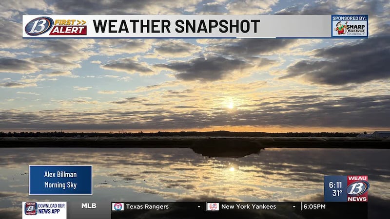
Some gradual improvements in temperatures and wind chills this weekend
We’re waking up to bitter cold yet again this morning, as temperatures and wind chills hang out in the 20s below zero across much of the area. You’ll want to dress in layers and cover any exposed skin if heading outside as our increased risk for frostbite continues. Temperatures will gradually be on the incline, with temperatures warming into the -0s later in the day. Mostly sunny skies and light winds courtesy of a high stretched over the area won’t do much to help. We continue with our First Alert Day until 3pm today with the warmup. A Cold Weather Advisory will expire at 9am this morning. Clouds will linger to our south as a potent storm system unravels across much of the Midwest and southeast. The snowy and icy system will stay to our south and high pressure will block it from reaching our area.
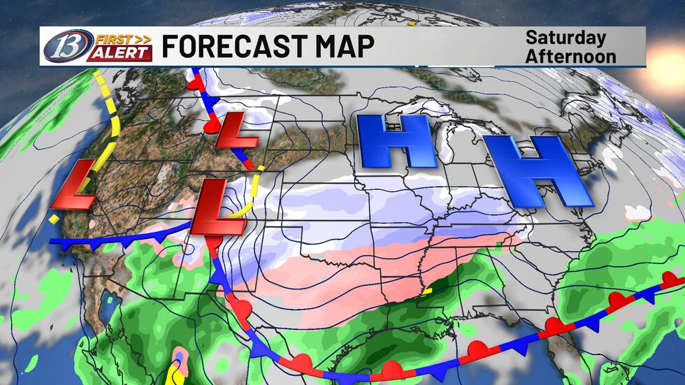
Our winds will shift more so out of the west-southwest Sunday, allowing for a “warm up” barely above zero, with a mix of sun and clouds. Another trough will drop out of Canada Sunday night, allowing for our negative overnight lows to continue, and will allow for the winds to pick up, bringing back another round of colder wind chill values into Monday. Northwesterly flow will remain dominant throughout the week, allowing for daytime highs to trek into the single digits and double digits above zero, and overnight lows to crash down below zero throughout the entirety of the week. Another front will slide through on Tuesday, but it looks to be a dry passage. Our drier conditions are expected to continue throughout this next week.
Copyright 2026 WEAU. All rights reserved.